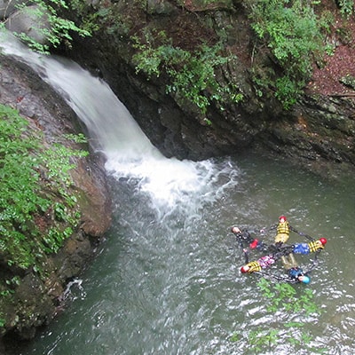
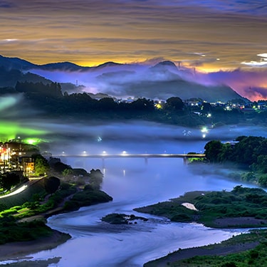
Otsuki (lit. “big moon”) is set in the valleys between the Chichibu and Tanzawa mountain ranges, so you’re quite spoiled for choice when it comes to hiking.
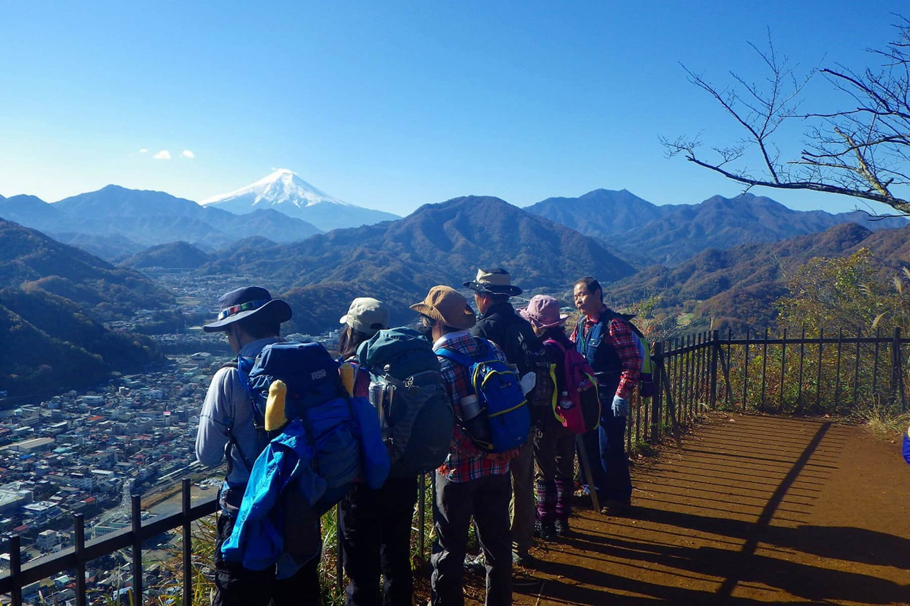
Plus, with the summit of Mt. Fuji just over 30 km away from the city center as the bird flies, the views you can get of the UNESCO World Heritage Site are spectacular.
- TOP
- Special Feature
- Hiking in Otsuki
Hiking in Otsuki
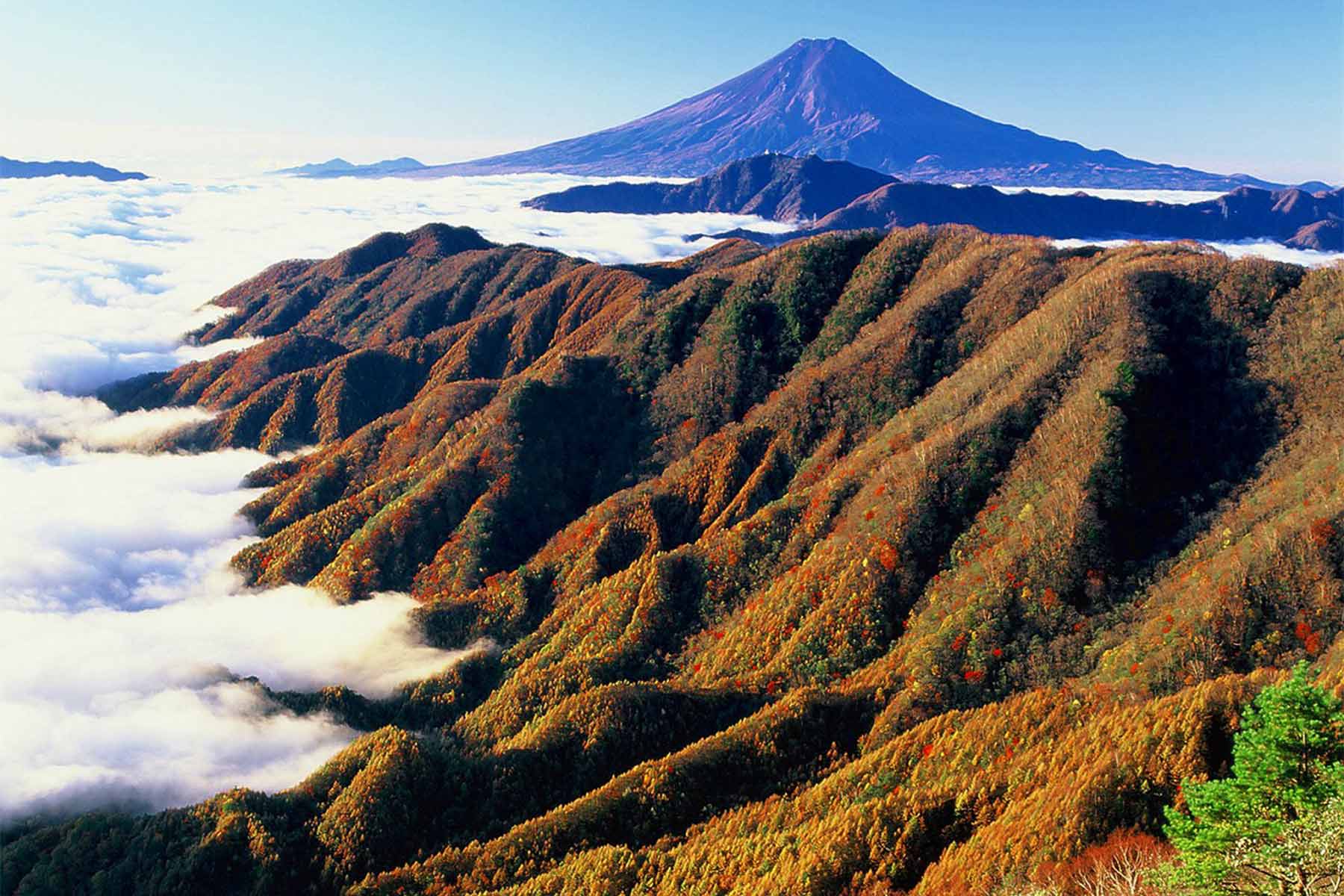
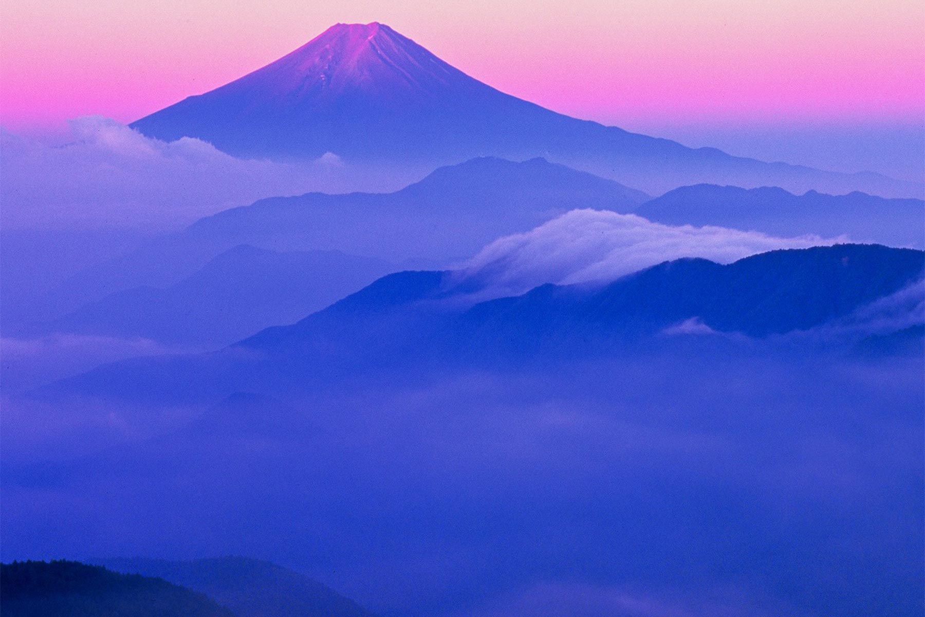
Twelve Beautiful Views of Fuji
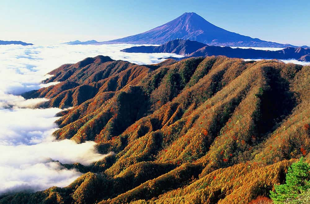
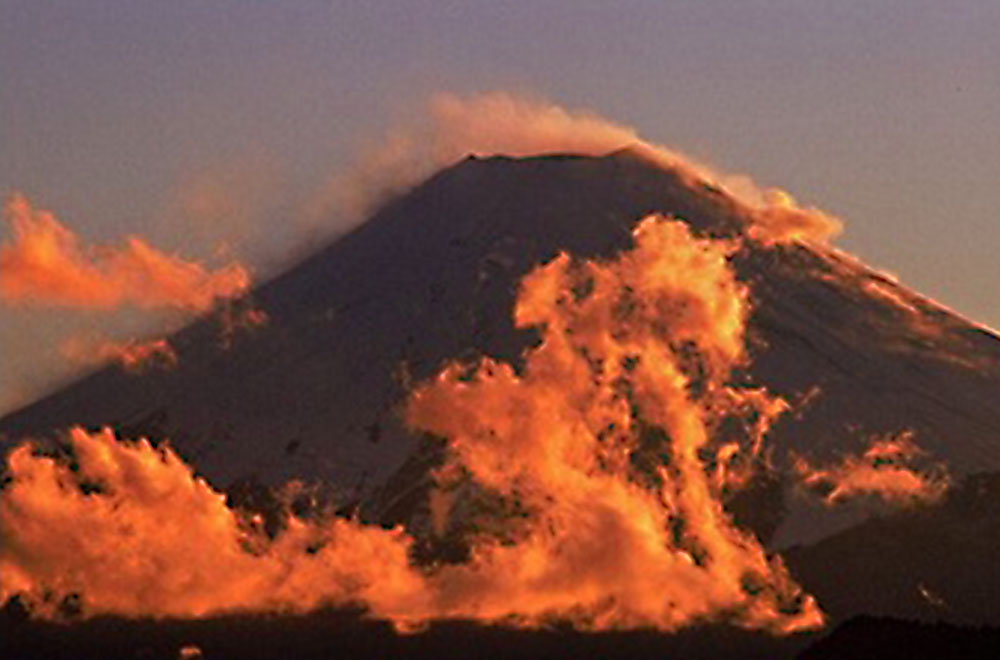
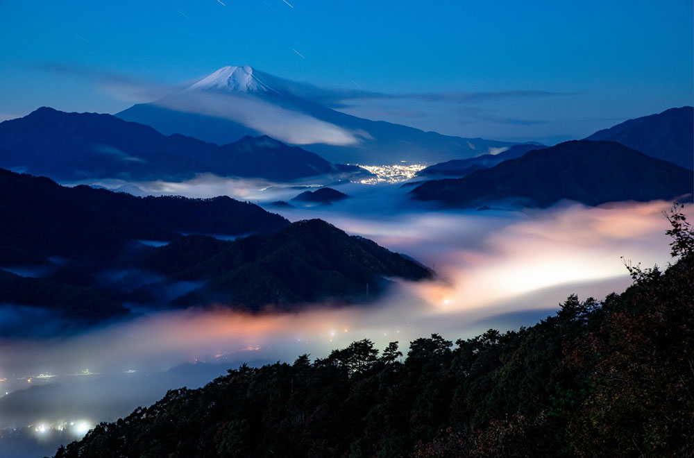
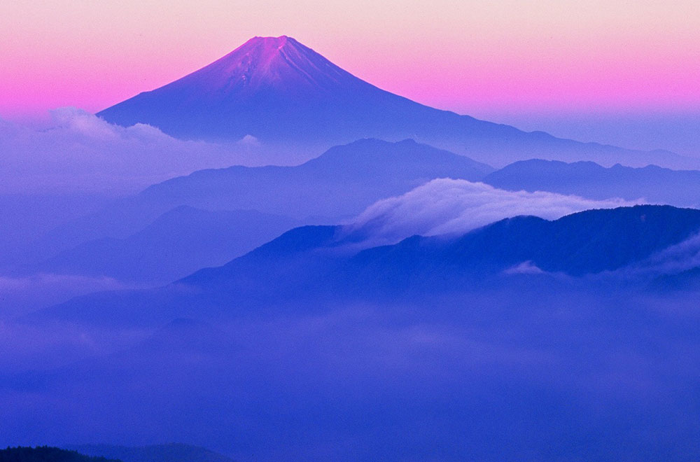
Otsuki designated 12 spots scattered across its surrounding mountains as offering the best views of Mt. Fuji in every season (some trails are closed in winter).
They range in elevation and difficulty—from 550 m to over 2,000 m—to suit the hike or climb you’re looking for, but all can be climbed in a day and warrant bringing a camera along to capture Mt. Fuji in all its solitary glory.
Seeing the winning photos of the city’s annual Twelve Views of Mt. Fuji photography contest, you’ll undoubtedly agree that if the weather smiles upon you and you’ve got your lens at the ready, Otsuki provides a wonderful canvas to capture some truly stunning imagery of the famous mountain, perhaps together with a big moon like the city’s namesake.
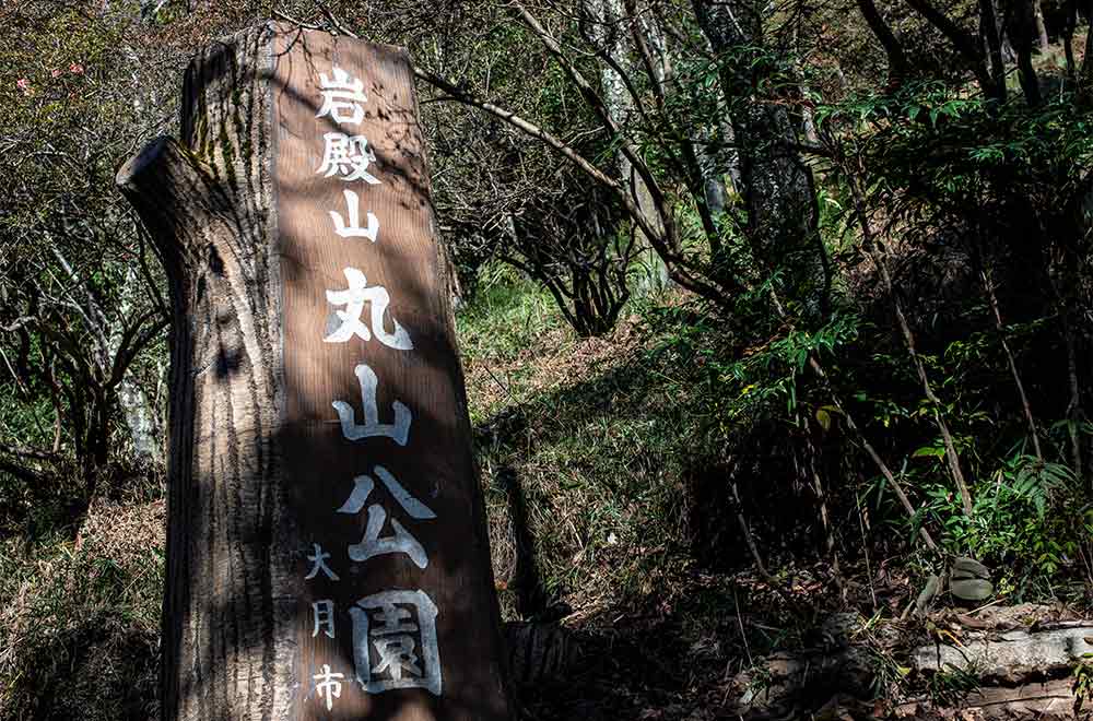
Mt. Iwadono and Maruyama Park
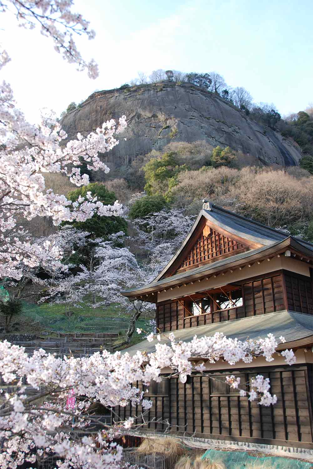
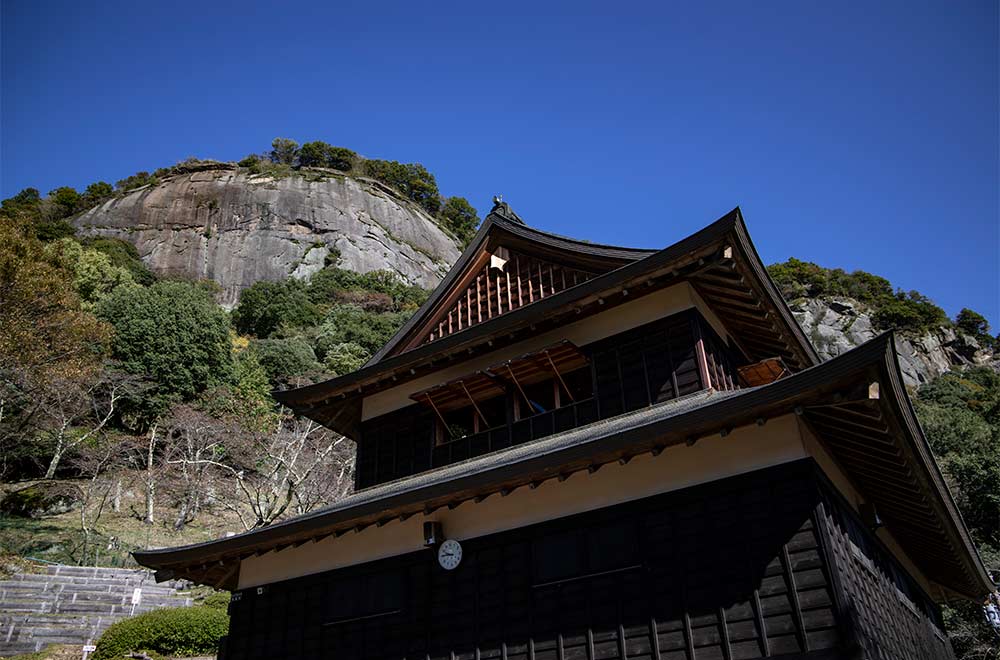
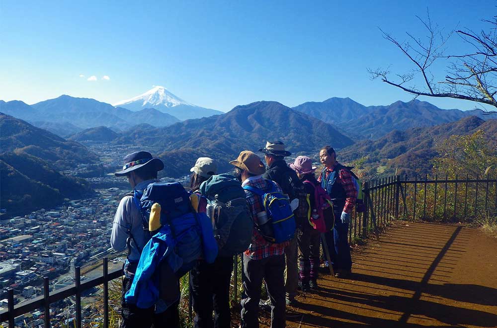
Mt. Iwadono is just about a 20-minute walk from Otsuki Station, making it one of the more easily accessible choices on the list of 12 views. With its sheer rock cliff face and unparalleled view, the mountain was also where Iwadono Castle stood, a strategic fortress that was ruled by the local lord and top general of the Takeda samurai clan in the 16th century.
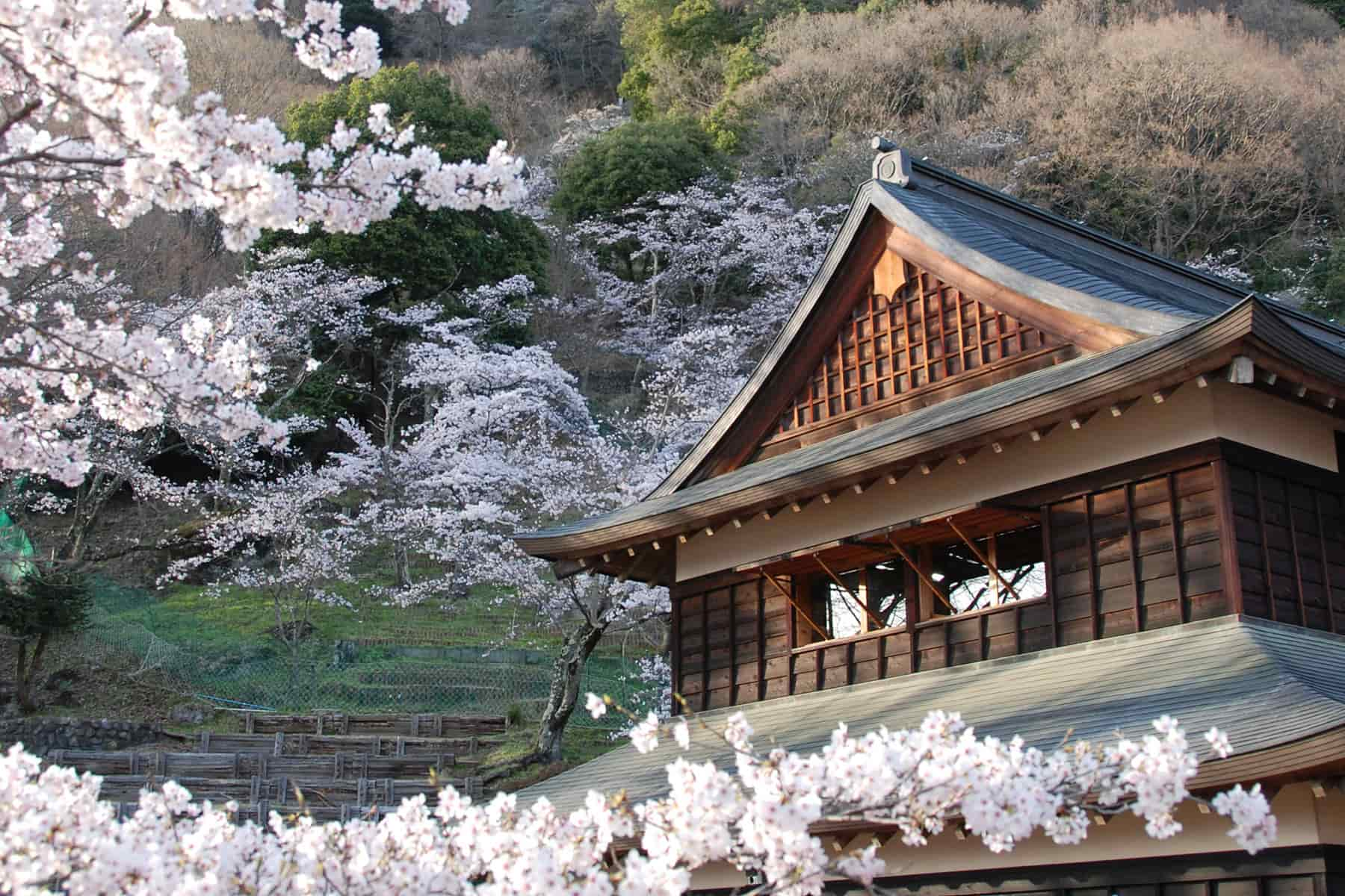
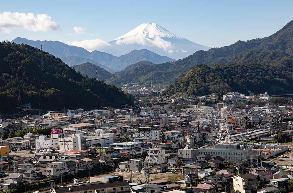
A short 10–15-minute climb up the path first brings you to Maruyama Park, where you’re already treated to a wonderful view of Otsuki with Mt. Fuji in the background (weather permitting, of course). Springtime also brings out the cherry blossoms for an added bonus.
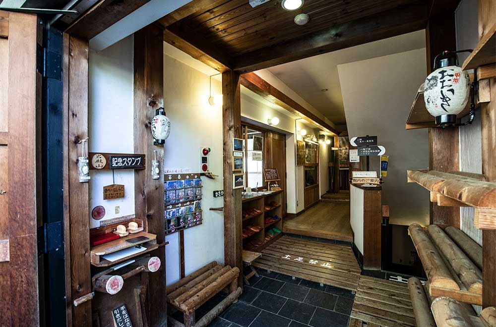
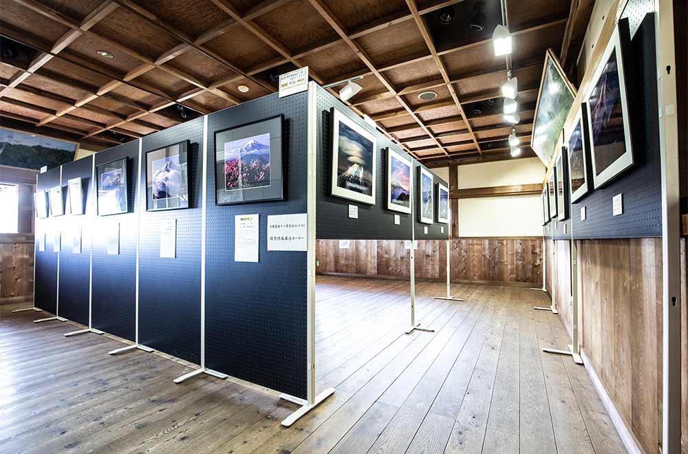
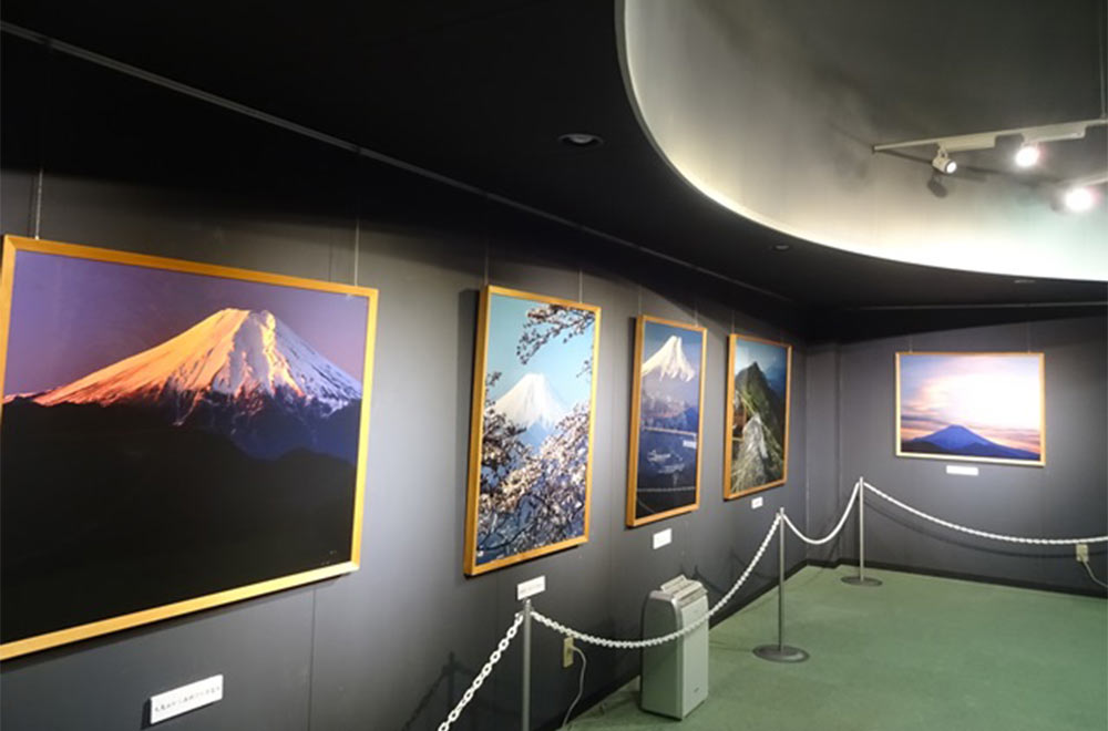
The small community center contains hiking pamphlets and other info about the area, but heading upstairs, you’ll find a small gallery with the submissions made for the annual Mt. Fuji photography contest and they are well worth a look. The basement area also serves as a photo gallery, housing photos of Mt. Fuji taken by pioneering award-winning mountain photographer and Otsuki native, Shiro Shirahata.
Of the four trails up Mt. Iwadono, three are currently closed due to damage from Typhoon Hagibis in 2019 (including the one from Maruyama Park), so please use the Hatagura Route on the northeastern side. Re-opening of the trails will be announced on the Otsuki Tourism Association website.
Once at the 634-meter summit (same height as the Tokyo Sky Tree), the awe factor multiplies and the climb becomes even more worth it. Once you’ve grabbed some Fuji shots, you can head back down the way you came or continue along some of the other trails along the mountain to get your fill of hiking.
Mt. Takagawa
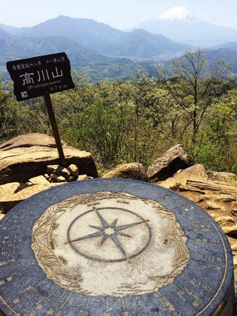
No. 11 on the list of 12 views, the 976 m tall Mt. Takagawa sits sandwiched between the Katsura and Sasago rivers, meaning it basically stands independent of other mountains and thus offers a nearly 360° panoramic view at the top on a clear day.
It takes about two hours to go from Hatsukari Station to the top (there are multiple routes) and the trek is suited to both beginners and experienced climbers. The recommended season for a clear view is April through early June, and if you’re wanting to get snaps of Fuji in fall colors, early October to late November is your best bet.
The test track for the maglev train also runs through the mountain so you might be able to see the train zoom by if you’re lucky!